Google Street View arrives in India in 2022, but why has Google been unable to introduce Street View in India until now?

Google Street View arrives in India, but why has Google been unable to introduce Street View in India until now?
With information from local partners Tech Mahindra and Mumbai-based Genesis International, Google has debuted its interactive 360-degree panorama feature for ten Indian cities.
Google has introduced its 360-degree interactive panorama feature for 10 Indian cities using data from local partners Tech Mahindra and Mumbai-based Genesis International ten years after it was banned from collecting data for its Street View services.
The new National Geospatial Policy, 2021, has allowed local businesses to gather this type of data and licence it to others. This also makes it the first country where Street View has been enabled primarily by partners.
Street View, also known as Project Gullify, will begin operating in 10 Indian cities initially and expand to 50 by the end of the year, mapping more than 700,000 km in that time.
The partners have “basic geospatial technology and experience, as well as logistical knowledge,” according to Miriam Karthika Daniel, VP of Google Maps Experiences, who also noted that they have the “capacity to expand over a number of locations simultaneously.”
Daniel cited the clarity the new Geospatial Policy gave for the launch’s success. “First of all, it demands that local organizations be in charge of data collection. Therefore, the partners are the ones gathering and possessing the data. Depending on the type of camera, they must collect it at a specified level of fidelity. Our partners even set up the cameras,” the woman stated.
The regulation, Daniel continued, even lists the government, military, and other fields where data collection is permitted and prohibited. As a result, “our partners are fully aware of the majority of India where they can go and collect [info].”
Following complaints from the Bengaluru police in 2011, Google halted its Street View activities in India. Indian competitors like Wonobo and later MapMyIndia started providing their versions of interactive panorama maps. However, given its integration with Google Maps, Street View is anticipated to have a considerably more significant impact, assisting users in discovering nearby businesses and providing better awareness of road conditions.
Additionally, Google has announced the addition of speed restriction information for Bengaluru and Chandigarh and road congestion information for nine locations to its maps. Further, it is developing the environmental insights explorer tool, which will allow planners to understand better how to minimize emissions in cities by measuring emissions based on traffic patterns.
It will also start displaying localized Air Quality Index (AQI) street-level numbers in a unique place.

Birendra Sen, Business Head, Business Process Services, Tech Mahindra, mapped cities using Mahindra vehicles, of which 10% were green vehicles. Sen continued, “This data will stimulate new use cases, including creating base data for driverless cars in India.
According to Sajid Malik, Managing Director of Genesys International Corporation Limited, people are accustomed to landmark-based navigation in a country where addresses are pretty complex. According to Malik, “we believe this brings in a lot of e-governance applications that our developing Indian towns demand.”
Google is already considering expanding this relationship concept to other continents.
Street View will also help Google Maps get better since it can interpret data on things like road conditions and other things that are frequently unclear in satellite photos.
Sajid Malik, Managing Director of Genesys International Corporation Limited, noted that people are accustomed to landmark-based navigation in a nation where addresses are incredibly complicated. “We believe this brings in a lot of e-governance applications that our developing Indian cities demand,” Malik continued.
In other parts of the world, Google is currently considering expanding this collaboration model.
As Street View can parse information on road conditions and other factors sometimes obscured in satellite photos, it will also help Google Maps improve.
“We are able to apply our technologies, which have been in development for more than ten years, and utilizeutilize AI and ML to parse the data, such as on information on addresses and road conditions, and put it back on the map for users,” added Daniel.
What do panoramic street views look like?
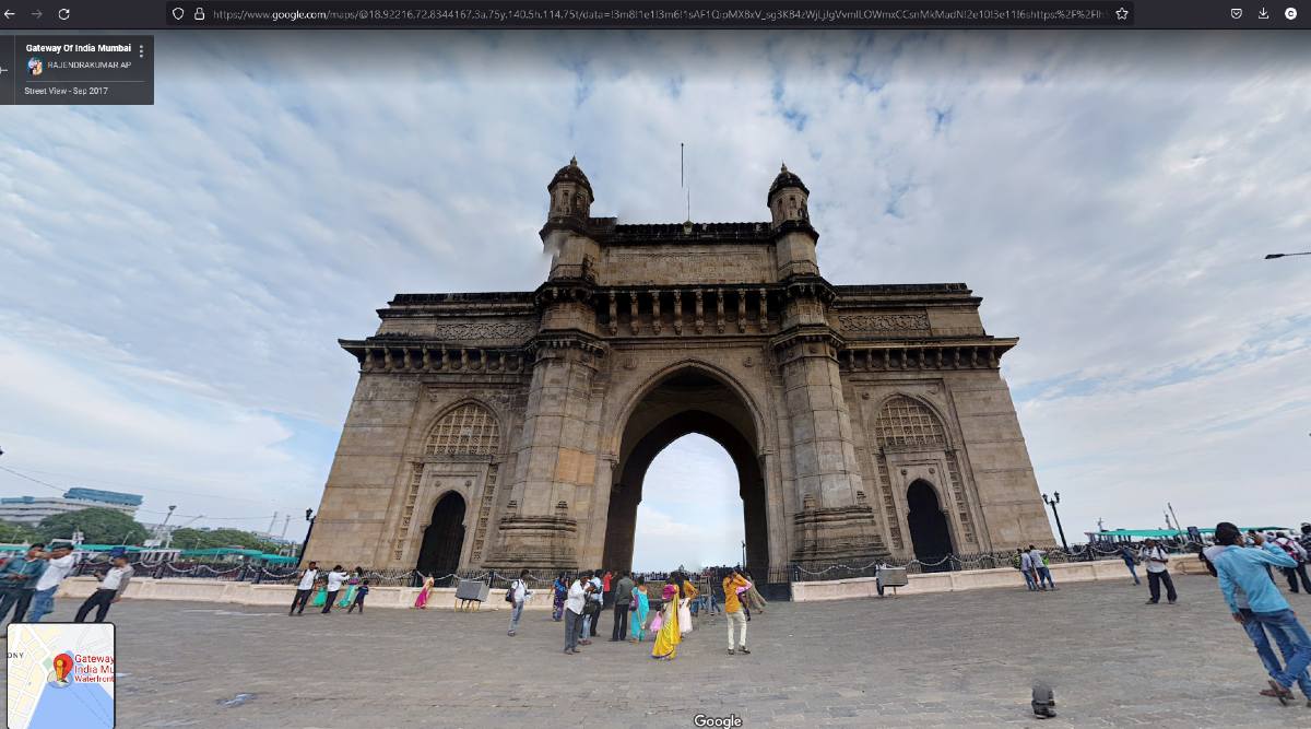
Maples RealView and Google Maps Street View use multi-directional photos stitched into one large panoramic image in the same way, to offer viewers a greater sense of the place and direction virtually, as though they are physically present there and looking about. For the past 15 years, Google has been working on this feature and has gathered more than 220 billion Street View photographs from more than 100 nations and territories.
Do you recall the Street View vehicles that toured worldwide cities with HD cameras mounted on the roof? One of the ways to get the photography results was by those.
Google announced earlier this summer that they are testing a new and improved camera system for street view photos that will go global in 2023. Instead of the typical installations that made Street View cars so noticeable, it has been intended to allow simple mounting on any vehicle, probably using a roof-rack or roof rails (but limited the resources too). Having the ability to refresh a location’s photos often is the objective.
In mapping and navigation software, information overlays, such as routes, locations, and historical details, can be added to these panoramic photos.
Chief Executive Officer and Executive Director of MapmyIndia, Rohan Verma, refers to this. The developer added that users might also view detailed interactive 3D models of famous tourist, business, and residential landmarks throughout India and immersive 3D maps for the entire country. The 2D maps from MapmyIndia utilize satellite imagery from ISRO and provide house-level information.
Rohan Verma, the chief executive officer and executive director of MapmyIndia, refers to this. Additionally, he stated, “Users may experience immersive 3D maps for all of India and detailed interactive 3D models of important tourism, business, and residential destinations around India.” Using satellite imagery from ISRO, MapmyIndia’s 2D maps have house-level detailing.
Why has Google been unable to introduce Street View in India until now?

Specifically, near military installations, high-security zones, and borders, the government raised security concerns in 2016, leading to the government’s decision to deny Google permission to gather photographs for Street View. Since that time, when India unveiled its geospatial policy last year, data collecting and localization procedures have been clarified. The rule permitted Google to resume work on Street View with Indian businesses.
Up to a certain quality and definition of detail, the geospatial policy permits regional organizations and businesses to gather visual data (such as photos and videos).
Genesys International and Tech Mahindra handle every step of the data collection chain in the case of Google, including camera settings, according to definition and detail standards, and the actual capture and collecting of panoramic photos.
Sajid Malik, Managing Director of Genesys International Corporation Limited, remarked, “Our fleet is still quickly shooting Indian towns, bringing to life our city’s magnificent tapestry of streets and landmarks.”
According to Google, Tech Mahindra and Genesys International own the data they gather and later licence it to Google (as well as any other entities in due course) for use. As part of Google’s global user privacy policy, people’s faces and vehicle license plates are blurred in panorama photographs.
RealView is a part of the internally created Mappls app by MapmyIndia. Verma states, “We are thrilled to provide people in India a wholly indigenous alternative to international map apps that is more advanced in its capabilities and more beneficial for users, while also being fully Indian.
RealView is a part of the internally created Mappls app by MapmyIndia. Verma states, “We are thrilled to provide people in India a wholly indigenous alternative to international map apps that is more advanced in its capabilities and more beneficial for users, while also being fully Indian.
What areas are Google and MapmyIndia covering?
MapmyIndia and Google Street View India’s Mappls RealView would mainly depend on city-specific clearances, which should prevent them from entering sensitive or high-security areas. However, there is still a long way to go until all significant locations and landmarks, even in the cities that already have some coverage, appear in panorama photographs. However, most monuments and tourist attractions have panorama pictures available.
According to Google, Street View in India has resumed its voyage and has pictures of sites in 10 cities (Bengaluru, Chennai, Delhi, Mumbai, Hyderabad, Pune, Nashik, Vadodara, Ahmednagar, and Amritsar). The total distance covered is 150,000 km. MapmyIndia refused to provide precise figures but stated that “tens of thousands of kilometres” of roadways and more than 40 crore geo-tagged panoramas spread across cities and towns.
Live View and Google Street View are not the same.
When you view the immediate location through the camera on your phone, Live View, a different feature of Google Street View accessible in other countries, provides extra realism with overlays like distance markets, arrows, and direction instructions.
Google India has not confirmed the imminent introduction of Live View in India.
Accessing Street View panoramas
First, the Google and MapmyIndia applications allow free access to panorama photographs for specific locales. The Street View layer option in Google Maps is now available on the online browser and in apps for Android and Apple iPhone devices. There are MappIs navigation apps for the iPhone and Android phones, and MapmyIndia’s Mappls RealView is also accessible via PC web browsers. The fact that Google is incorporated into the widely used Maps app is a benefit. According to Google, more than a billion people use Maps each month.
Information pilot for air quality
Google has announced its partnership with the Central Pollution Control Board to give users reliable information on air quality. Users can view this information overlay by touching the “Layers” icon in the upper right corner of their Maps app and choosing the “Air Quality” option.
According to Daniel, they hope to roll it out in a few cities, including Rourkela, Rajkot, Chennai, and Hyderabad, in 2023. He added that they are also piloting hyper-local air quality information, which will provide detailed information on air quality at the street level.
Four Indian cities, Bengaluru, Chennai, Pune, and Aurangabad, use data on transport emissions from Google’s free Environmental Insights Explorer to create climate action plans. Aurangabad’s data was also made available to research organizations so they could help the city come up with sustainable solutions.
With data on public transportation activity, Environmental Insights Explorer assists cities and local governments in measuring emissions based on traffic patterns and identifying solutions to minimize them.
According to the business, its geospatial tools have helped 250 NGOs, 60 Universities, 30 government bodies, and 15 research institutions uncover practical information about climate change.
The following ten cities will access Google Street View: As part of Pride Month, Google has included a new category for LGBTQ+ businesses in Maps and Search.
- Bengaluru
- Chennai
- Delhi
- Mumbai
- Hyderabad
- Pune
- Nashik
- Vadodara
- Ahmednagar
- Amritsar
By the end of 2022, Google, Genesys International, and Tech Mahindra hope to have this available in more than 50 cities. According to Google, this India launch is regional partners have entirely realized the first time Street View.
How to Use Street View
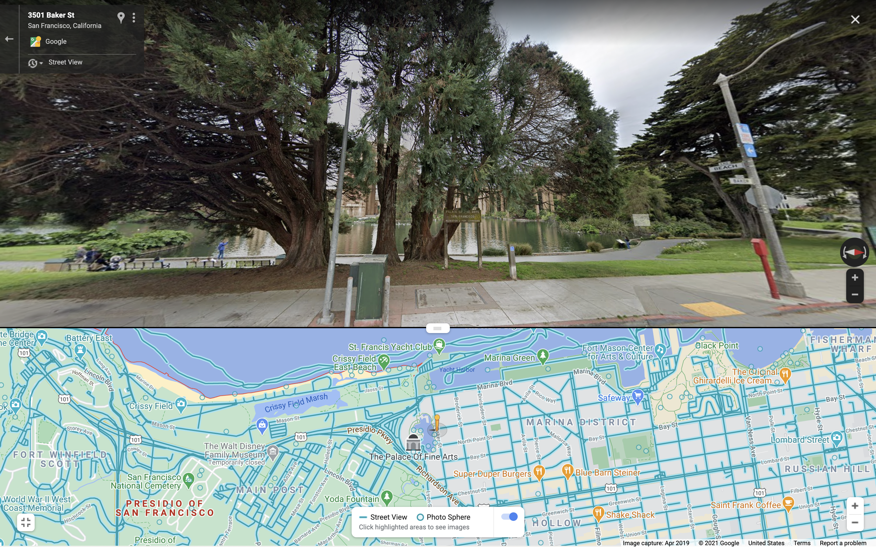
You can search for a location, drop a pin, touch on a place marker, or use the Street View overlay to see Street View images.
- Place a pin or conduct a location search
- Start the Google Maps app on your Android smartphone or tablet.
- Place a marker on the map or search for a location.
- Touch and hold a spot on the map while dropping a pin.
- Tap the location’s name or address at the bottom.
- Scroll and click the “Street View” shot or thumbnail with a 360-degree Street View indicator.
- When finished, tap Back Back in the top left corner.
- Press a place-marker.
Article proofread & published by Gauri Malhotra.